Groundwater Modelling
 Groundwater Modelling
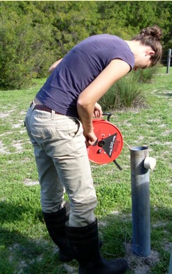
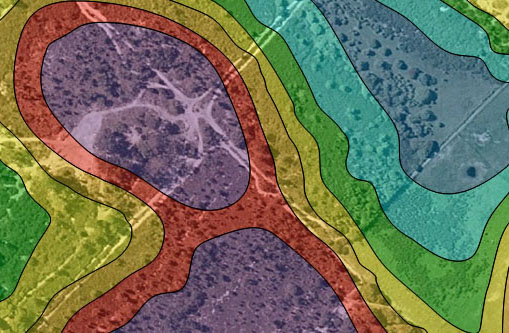
Groundwater monitoring and modelling programs are primarily needed to assess the current state of groundwater resources in regards to water quality, Average Annual Maximum Groundwater Levels (AAMGL) and direction of flow for urban and industrial developments. Such investigations are conducted by Bioscience as part of an Urban Water Management Strategy (particularly in areas were the watertable is within 1.5m of the natural surface) or during Wetland Investigations in regards quantifying wetland boundaries.
Depending on the specific site requirements, groundwater is usually monitored for up to 2 years, before sufficient data is available to accurately model using appropriate analytical and/or numerical groundwater modelling software such as Modflow®, HydroGeoAnalyst 2009®, and AquafierTest 4.2®.
